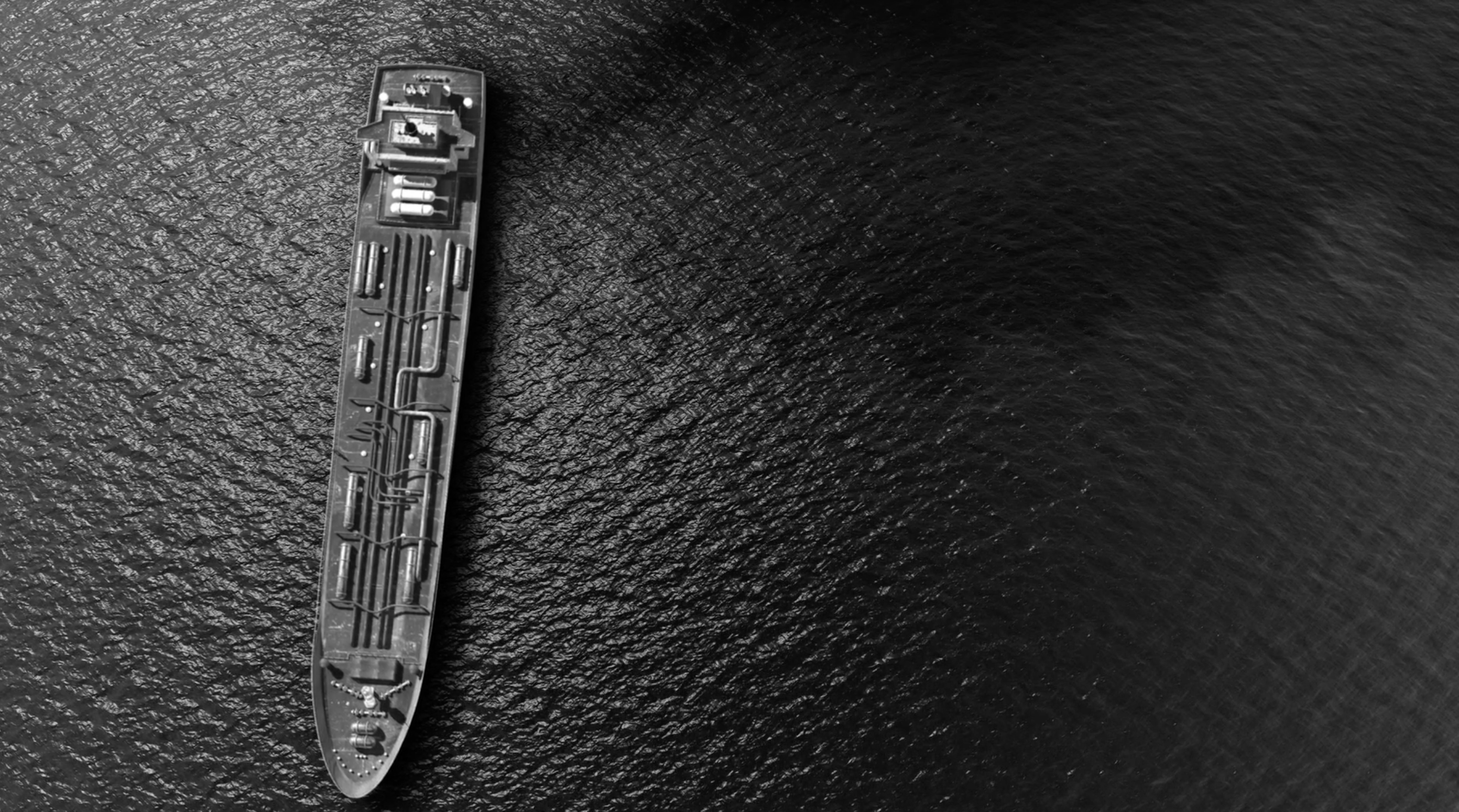
1: 2020 Vessel Routes
"The ecologically rich waters of the Salish Sea are among the busiest shipping routes in the world – and for this reason, the
region has been identified as at highest risk of a major oil spill in Canada" (Georgia Strait Alliance).
- In 2016, 12,394 large vessels and oil barges traveled past the San Juan Islands (Buffum).
- "Shipping traffic is set to grow dramatically in the next decade, in large part due to major fossil fuel export projects..." (Georgia Strait Alliance).
- "A Vessel Traffic Risk Assessment for Northern Puget Sound and the Strait of Juan de Fuca (VTRA 2014) found that if all
proposed projects were approved, vessel traffic would increase by 21%, accident frequency by 18%, and oil spill loss
by 68%" (Buffum).
This map includes traffic data based on
2020 vessel traffic in the Salish Sea and ports data represented by
blue points.
Click on the points and traffic areas to display more information.
Please refresh the page if map layers are not showing.
2: Tug Boats
Navigating the complex island topography of the Salish Sea introduces severe risk to vessels transporting oil.
"Giant oil tankers, container ships and bulk cargo carriers navigate tricky turns through Haro Strait, Boundary Pass and
adjacent islands" (Georgia Strait Alliance).
- "Between 1999 and 2009, more than 1,200 vessel incidents were reported on the BC Coast, 12 involving oil tankers" (Georgia Strait Alliance).
- "From 1995-2008, 14 oil spills from tankers in Washington State released 13,709 gallons of oil" (Georgia Strait Alliance).
- From 1995-2008, "132 near-miss incidents also took place – had these resulted in worst case disasters, the amount of
oil spilled would have been 2.7 billion gallons. Learn more" (Georgia Strait Alliance).
To prevent vessel groundings that may result in oil spills, there are tug boats on call to help assist vessels through
the Salish Sea. "Since 1999 tug assistance has prevented millions of gallons of oil from spilling into Washington waters"
(WDOE.)
This map displays all the tug boat call outs from 1999 to 2024.
Click on the points to display for information about the tug boat call out.
Tug Boat Data.
3: Refineries
Once cargo vessels make it to port, the oil is transported to a train/pipeline or is held in an onshore tank facility. Vessel to
land transfer along with vessel refueling stations contribute to spill risk.
Black points displayed on this map are Washington facilities that are regulated by the Washington State Department of Ecology's Spills Program.
These points represent fixed shore-side facilities such as refineries and refueling terminals. This includes facilities that
transfer to or from tank vessels and pipelines. These facilities refine products such as Gas, Diesel, Crude Oil, Motor Oil,
Edible Oils, and more. These facilities introduce the risk of spills into waterways.
Black points displayed on this map are Washington refineries. These refineries have additional oil terminals that transfer oil between
vessels and refineries. This process introduces spill risk to the following:
- Populated residential areas and vulnerable communities.
- Waterways that host culturally significant species and habitat.
- Wetlands and other natural ecosystems.
This map includes refinery facilities data and
refinery data.
Click on the points to display refinery information.
4: Tribal Lands
In Washington state, there is an inequality in the placement of petroleum refineries and their corresponding port terminals.
Black points on this map display refineries, each of which has a corresponding port terminal for vessel oil transfer. The green areas
show tribal lands. The location of these refineries are located within or beside tribal land in every instance within the state of Washington. Spills
in these locations can have detrimental effects on shorelines surrounding these tribal lands.
Other than oil spills, vessels can cause "pollution from discharges of graywater, sewage, lubricating oil,
engine coolants and other contaminants. Beyond the water, increased vessel traffic is also a significant contributor to air
pollution," that can affect these areas (Georgia Strait Alliance).
Click on points and areas to display more information.
5: Low Income Areas
Low-income areas are at a higher risk of living in proximity to petroleum facilities.
Petroleum terminals built in low-income areas contribute to "disproportionate exposure to pollution from
burning fossil fuels and chemicals leaching into the water table" (The Climate Reality Project)..
- "The demand of crude oil shipment has increased the number of tanker ships, vessel traffic, and terminal cargo operations" (Elsevier).
- Increased demand may cause "catastrophic oil spill risk at sea or port since it has raised concerns about the marine environment, human life and marine ecosystem" (Elsevier).
- "These stages involve various operational risks that may lead to a shipboard oil spill" (Elsevier).
This map contains Washington low
income data represented by the blue areas and dark blue points that represent Washington petroleum port data for oil transfer between trains/pipelines.
Click the points and areas to display refinery information.
6: Spills
This map displays two spill occurrences due to crude oil transfer between a vessel and the Anacortes refinery terminal.
This map displays the proximity of this spill to tribal communities and shows the danger and risk of oil transfer between land and sea.
This map includes spill data represented by red,
refinery facilities data represented by
black, and tribal
lands data displayed in green
Click on each component to display more information.